Oʻahu parcel lookup by TMK
Type an Oʻahu TMK and the sheet reads the State and City layers for that lot, each line with its source. Zoning, hazards and the rules for the lot on one sheet, free to start.
Free, no account. Or open the Oʻahu map and tap a lot.
What a Oʻahu sheet shows
- State Land Use District and City zoning, with the dimensional rules for the base district from the Land Use Ordinance
- The development plan area that covers the lot
- Special Management Area and Important Agricultural Lands
- FEMA flood zone, tsunami evacuation zone, sea level rise with 3.2 ft, and wildfire risk
- Cesspool and on-site wastewater records, and nearby wells
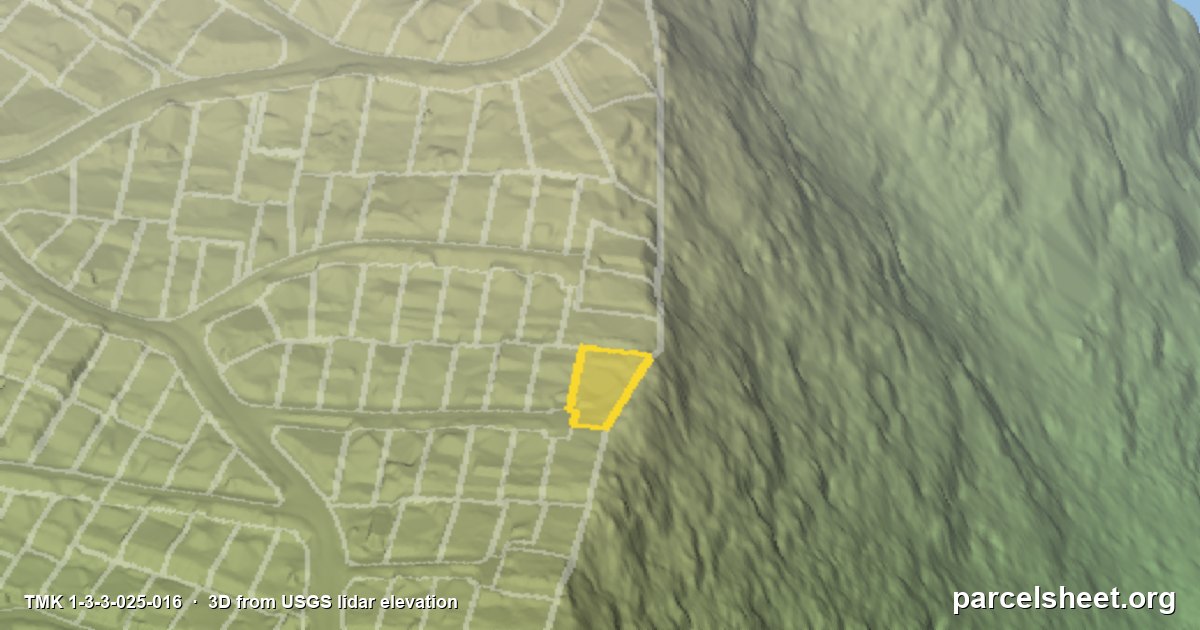
- Elevation, slope and sun exposure from the USGS lidar elevation, and a 3D view of the lot with the lot line lined up to the lidar survey
Zoning rules are read from the Land Use Ordinance, Revised Ordinances of Honolulu Chapter 21. Every card names its source, the layer it came from and the date of the data, so you can check it yourself.
Worth checking on Oʻahu
- Valley and hillside lots: the slope card shows how steep the lot is before anyone walks it.
- Coastal lots: check the tsunami evacuation zone and the 3.2 ft sea level rise area together.
How to find a Oʻahu TMK
Oʻahu TMKs start with 1. The TMK is on the property tax bill, the listing, and the county real property tax site. ParcelSheet also takes a street address or a Zillow link, or you can tap the lot on the map. How to read a TMK.
Before you rely on it
The sheet is public records and maps with sources, not legal advice, a survey or a permit. Confirm anything you will build or sign on with the Honolulu Department of Planning and Permitting.