How ParcelSheet works, and how far to trust it
ParcelSheet reads the public State, county and federal maps for one lot and puts what they say on one sheet. Every line names where it came from, so you can check it yourself.
Free, no account. Or open the map and tap a lot.
1. Find the lot
Type a TMK, a street address or a Zillow link, or tap the lot on the map. The TMK decides the island, and the lot is drawn from the State of Hawaiʻi parcel layer.
2. Read the maps for that lot
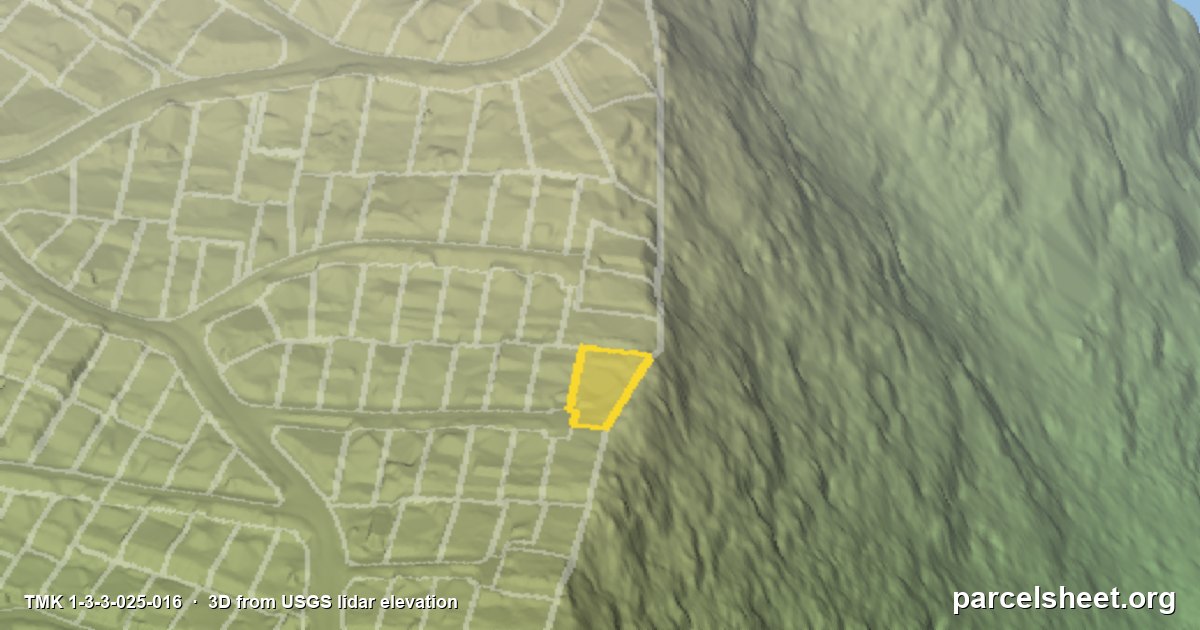
When the sheet opens, ParcelSheet asks the public map services for that exact lot: State Land Use District, county zoning, the Special Management Area, FEMA flood zones, tsunami evacuation zones, sea level rise, wildfire risk, the lava flow hazard zone on Hawaiʻi Island, and the USGS lidar elevation for slope and sun. The answers come from the agencies' own servers at the moment you look, not from a copy that can go stale.
3. Sort it into Flagged, Caution and Clear
Each finding becomes a card. Flagged means a rule or hazard that usually changes what you can do with the lot, Caution means worth a closer look, and Clear means the map found nothing there. Zoning cards add the dimensional rules from the county code for that district, such as setbacks, height and lot coverage.
4. Show the source on every card
Every card names the agency, the map layer and the date it was checked, with a link to the official page. If a service does not answer, the card says so instead of guessing.
How accurate are the lot lines?
The State parcel lines were drawn for tax maps, so on an aerial picture they can sit several feet off the real fences and roofs. ParcelSheet compares neighbourhoods against the public NOAA and USGS lidar survey and, where the survey confirms it, lines the lot up with the ground and says how far it moved. Where the survey cannot confirm a lot, the sheet says the outline is approximate. Either way, the legal boundary is the recorded survey.
From the accuracy check of 14 October 2026, these are the shares of lots whose lines sit within 3 ft of the lidar survey, island wide:
- Kauaʻi: about 78 percent
- Oʻahu: about 78 percent
- Maui: about 82 percent
- Hawaiʻi Island: about 66 percent
What a sheet is not
It is public records and maps with sources. It is not legal advice, a survey, a title report or a permit, and maps can lag what the county has approved. Before you build, buy or sign, confirm with the county planning department named on the sheet.
What it costs
Looking up parcels is free, with no account. Pro is $22 a month and adds the 3D view with no daily limit, documents sent with your own name and logo, and an assistant for questions about a parcel. Plans and questions.